Traffic, Transport & Travel
Automatic traffic counting
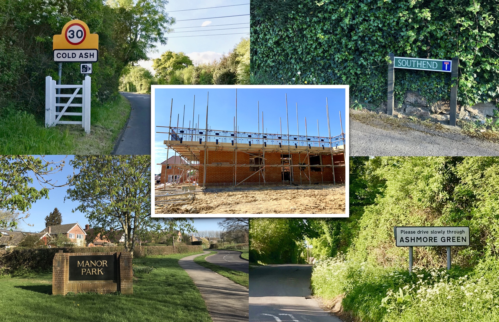
Many of you have probably seen a number of pneumatic tubes stretched across our roads and lanes in pairs in the last few weeks. These are called Automatic traffic counters, or ATCs for short. In fact, there were 17 pairs across the parish, used to collect traffic data for seven days, over the 13th-21st September, as part of our study of Traffic, Transport and Travel for our Neighbourhood Development Plan, (NPD). These measured the quantity of traffic in each direction, its speed, time and vehicle class, and they provide us with statistics as to average speed, the 85th percentile speed and even the 95th percentile speed. Such data are used by traffic engineers to assess whether roads should be re-configured, whether it is to handle the volume, speed or to limit the size of vehicles.
We also held a 12-hour count on one day at the cross roads at the corner of the Recreation Ground to record the turning movements at the cross roads. The reason for this was to assess school set down and pick up arrangements and their safety. During school days this is a twice daily ballet between cars, parents and children, all competing for space whether on the roads, or pavements. We have also taken aerial shots of the usage of our car parking both on road and off road by drones, dashboard cameras and a CCTV from the parish office.
The parish infrastructure has been static
The parish has grown a lot in the last 18 years. Current population is 4048, up 34%, while the houses have grown to 1411, up 25%. Yet our civic infrastructure has remained static. The Acland Hall is intensively used, at least up until the pandemic, while our off-street car parking, at 60 spaces, has been totally static for more than 30 years: at the Recreation Ground, the Village shop, St Mark’s church and the Green Space at Waller Drive.
Why are we collecting all this data?
We need this data to help us understand our current traffic patterns, and more importantly the likely future traffic as a result of the West Berks Local Plan. The data should prove useful in helping us make our recommendations to parishioners on site allocations for the new Local Plan. It will also provide evidence to inform our recommendations to you on how to spend the Community Infrastructure Levy that is charged on the developer at the flat rate of £75/sqm or £125/sqm in the AONB, on our parish infrastructure. We need your input as to our parish infrastructure needs. It is not for the Steering Group to tell you what is needed. We welcome your ideas.
Parish Questionnaire on Travel, Transport & Travel
We will shortly be issuing a Parish Questionnaire. It is split into five areas:
- The set down and pick up problems of St Mark’s and St Finian’s schools, and our shortage of off-street parking;
- What you would like to see on new developments by way of on-site parking, pedestrian safety and cycling paths;
- Improvements to our walking and cycling networks and extra cycle storage
- Further transport options in a world of climate change, car clubs, driverless cars and electric bikes; and,
- Your future gazing on how your means of transport may change in the next five/ten years.
We look forward to receiving your opinions.
Cllr Garth Simpson
Chieveley & Cold Ash ward member
NDP Steering Group